Here we teach you three Google Maps tricks for use in electric vehicles.
Three Google Maps tricks for electrified units
With permission from Wazethe geolocation tool that is most used in Spain, there are a variety of secrets, “so to speak” that have been designed for those who are committed to more sustainable mobility.
See also: Electric and hybrid cars will visualize routes to save autonomy thanks to Google Maps: this is how it works
1. Locate charging points
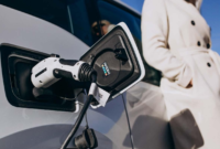
The Climate Change Law established that almost all gas stations operating in Spanish territory must have at least one charging point for electric cars in the coming months.

This regulation established that service stations must have chargers with a power based on their volume. So that from next year the recharging of electrical units throughout the territory is facilitated.
However, it must be taken into account that planning road routes and charging sectors for electric units is much more efficient to avoid setbacks.
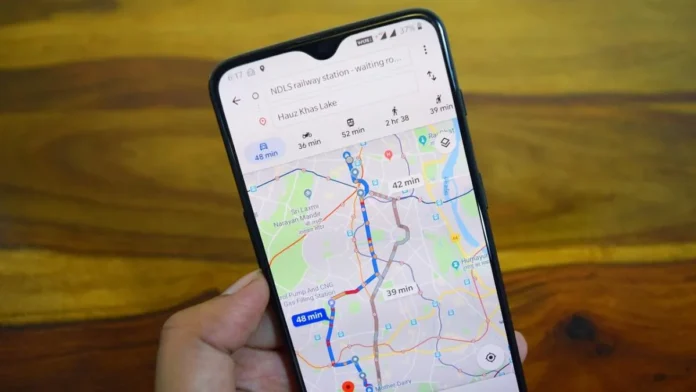
Google Maps It has a specific function for this: you can locate the gas stations on the route and ask the navigator to indicate the location of charging points.
The android app it will also indicate whether they are closed or open and the time it takes to get to them.
2. Direct access to your usual charging point
With Google Maps you can organize a list of charging stations close to your home, office or your place of rest. Thus, immediately accessing the list and getting easy and close access routes.

The android app create a shortcut from the home screen of your mobile phone. Which appears as a shortcut icon on the phone.
3. More efficient routes
Google Maps optimized the algorithm to indicate the fastest or the shortest route so that users can choose the most appropriate route. It will only suffice to access the application settings menu and activate the route of “greater fuel economy”. The navigator gives priority to city routes with less cost for these cars.
Writing by Gossipvehiculos/Source: www.autobild.es


